17/07/2024
17/07/2024

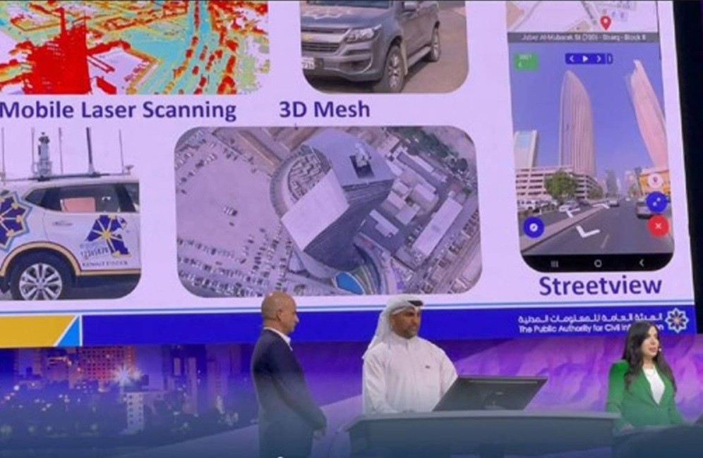
KUWAIT CITY, July 17: The Public Authority for Civil Information (PACI) presented its innovative geographic information system (GIS) projects during the opening session of the world's largest GIS conference. The event attracted over 21,000 users from around the globe.
In a press statement, the Acting Director General of PACI, Mansour Al-Madhen, expressed pride in the Authority's participation. He highlighted that PACI was selected for the opening presentation after being ranked among the top four entities out of more than 350,000 GIS users worldwide.
Al-Madhen emphasized PACI's notable achievements in GIS, including pioneering projects like "Kuwait Finder," the artificial intelligence project, high-resolution laser imaging, and drone imaging. He commended the Geographic Information Systems team for their exceptional efforts and the high standards they have attained, which garnered international recognition.


